California

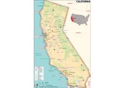
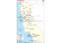
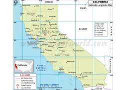
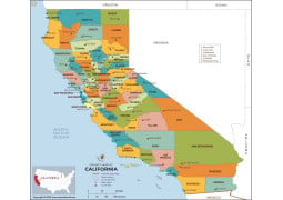
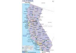
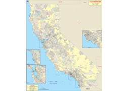
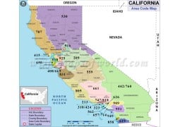
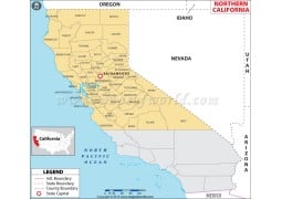

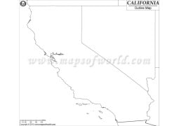
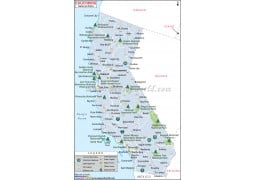
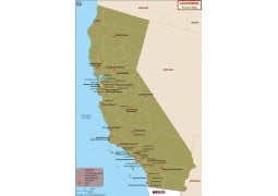
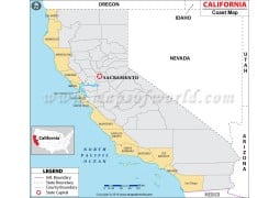
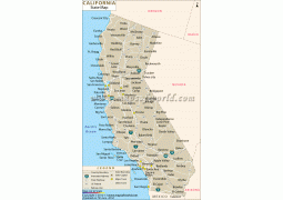
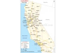
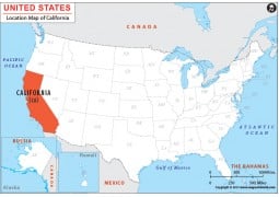
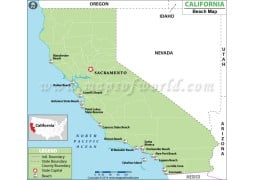
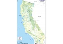
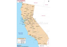
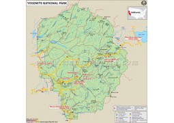
We bring California maps in Vector and raster file formats. Vector maps are fully editable and you can customize the maps as per the requirement. Vector files are in layered AI(Adobe Illustrator), EPS(Encapsulated PostScript) and PDF format. Addition and deletion of layers, increasing and decreasing map size, change font or text size and colour, add or remove location and many such features are present in vector files. Raster format of California maps are available in two versions of JPG 72 and 300 DPI. California digital maps can be used for printing, projects, PowerPoint presentations, cartography, traveling, etc. Map of California state, counties, airports, roads, rivers are available for purchase and immediate download.
