Zoom 
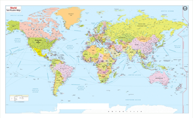
The World's Best
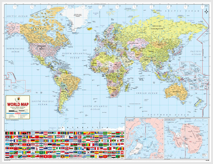
World Map
After days of painstaking hard work, forming a strategy and spending thousands of dollars, we are ready with our singular creation and that is The World's Best World Map.
$29.95
Choose
Your Buying
option
Your Buying
option