It looks like you're trying to visit our USA store, would you like to go to our UK store?
Redirect me!
[email protected]
(866) 525-2298
9 AM – 5 PM ( CDT )
My Account
Wishlist
Checkout
Login/Register
[email protected]
World Maps
Digital Map
Printed Map
USA Maps
Digital Map
Printed Map
USA State and Counties
Digital Map
Printed Map
US Zip-Code Maps
Digital Map
Printed Map
USA Cities
Digital Map
Printed Map
Search
0
Your shopping cart is empty!
0
Home
World Wall Map
Digital Maps
US States
North Dakota
Digital Map Files
›
Wall Map on Demand
›
Vinyl Maps
›
North Dakota
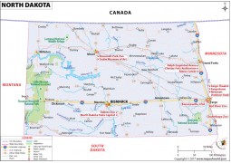
This Reference Map of North Dakota, shows the major transportation routes through the ‘Flickertail .....
View Details
+
CART
+
WISH
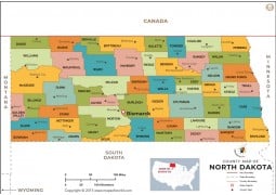
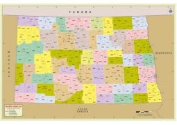
North Dakota County Map. ESRI shape file : High quality GIS projected counties boundary with.....
View Details
+
CART
+
WISH
.....
View Details
+
CART
+
WISH
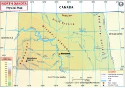
Physical Map of North DakotaSize of the map : 72 DPI file is 1200 Pixel wide and 300 DPI file is 333.....
View Details
+
CART
+
WISH
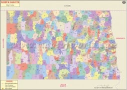
This Zip Code Map of North Dakota is designed to clearly show the distribution of the USPS Zip Code.....
View Details
+
CART
+
WISH
Designed by internationally renowned cartographer, Nat Case, and with an eye towards the business u.....
View Details
+
CART
+
WISH
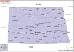
North Dakota Road MapSize of the map : 72 DPI file is 1600 Pixel wide and 300 DPI file is 10800 P.....
View Details
+
CART
+
WISH
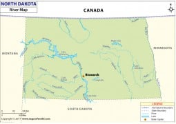
North Dakota Rivers MapSize of the map : 72 DPI file is 1500 Pixel wide and 300 DPI file is 3333 Pix.....
View Details
+
CART
+
WISH
.....
View Details
+
CART
+
WISH
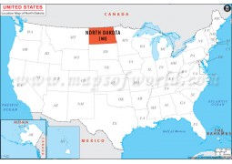
About North Dakota Location Map The North Dakota Location Map as the name suggests shows the .....
View Details
+
CART
+
WISH
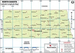
North Dakota Latitude and Longitude Map available for purchase in 72 DPI and 300 DPI High resolut.....
View Details
+
CART
+
WISH
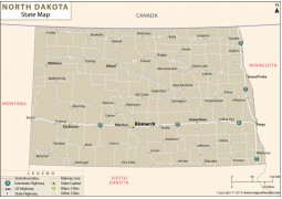
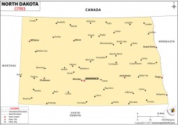
North Dakota Cities MapSize of the map : 72 DPI file is 1600 Pixel wide and 300 DPI file is 4167 .....
View Details
+
CART
+
WISH
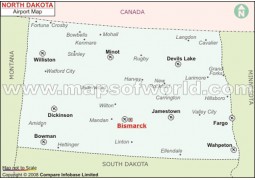
North Dakota Airports Map .....
View Details
+
CART
+
WISH
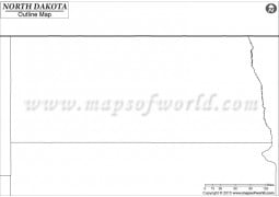
Blank Map of North Dakota. ESRI shape file : High quality GIS projected state boundary with .....
View Details
+
CART
+
WISH
Showing 1 to 14 of 14 (1 Pages)